VIA

Roads and regulation of watercourses from concept to implementation.

VIA users

"We are using VIA to design roads and water regulations. With water regulations, we are taking an extensive use of two-way connectivity with HEC-RAS. The workflow in VIA is also completely aligned with our design workflow, as we can quckly produce and evaluate multiple solutions, plus, we can also make changes at any time during the design process"
- Gorazd Pulko, direktor Savinjaprojekt d.o.o.
"The tech guys at SL-King are often saying to me that I demand miracles from VIA. It may be so, but I can also confirm that, as far as it goes for our road projects, VIA also helps us to get to the best possible solution. Especially in narrow and dense urban areas where the design is more difficult than in open areas. "
- Mitja Lavrenčič, Detajl Infrastruktura d.o.o.

Seamless design of the alignment and the profile

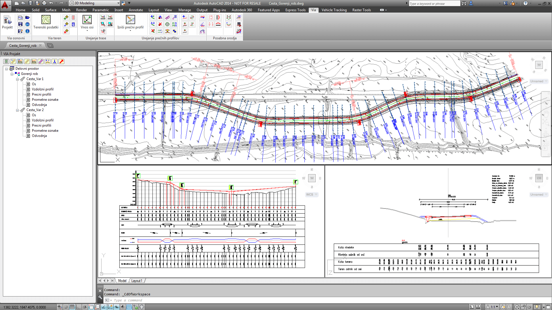
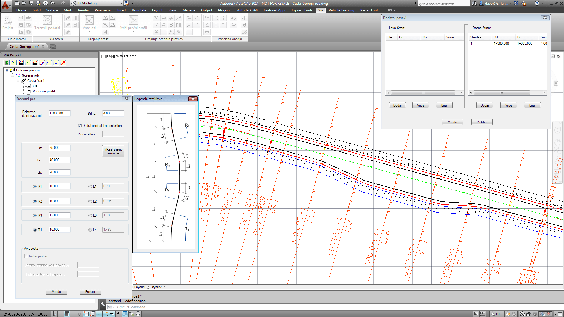
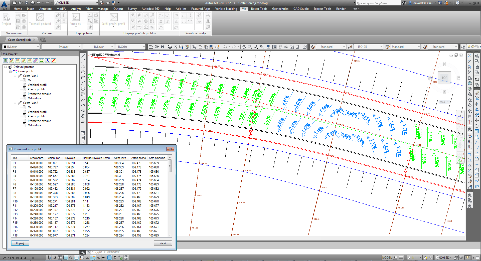
In VIA, alignment and profile are two views of the same road object. All changes that we do in alignment immediately display in the profile and vice versa. This principle is also applied to the cross sections od the road. VIA treats roads and watercourse regulations as 3D objects, not as three separate views that need to be synchronized during the design process.

Easy creation of the cross sections

Cross sections in VIA are managed via cross section constants palette. With it, the body of the road can be set up either through its entire lenght or through shorter sections.

The designer can also edit profiles graphically and add additional custom elements of cross sections. Custom elements can later be populated through other cross sections and displayed in plan and profile view.

Free editing of the road body

The designer can alter course of the polylines that represent the edges of the elements of the road body either in plan or profile view. With this, very detailed changes can be made in the road design, for example we can align the road edge with the existing edges in the real environment, or make specific alterations to the road sholders, etc.

Hydraulic analysis of the watercourse

VIA enables the designers to export either the existing or the designed watercourse into HEC-RAS, where calculations can be made.

After the calculations are made in HEC-RAS, the critical water levels can be imported back into VIA, where they can be presented in cross-sections and profile view.

Reports and special displays

The designers have all the reports at their hands - from stationing data, through elevations, to cuts and fills reports. Special displays also offer the designers the overview of the road wathershed directions and the proposed design elevations display in the plan view.

Free trial

Download 30 day free trial of VIA.